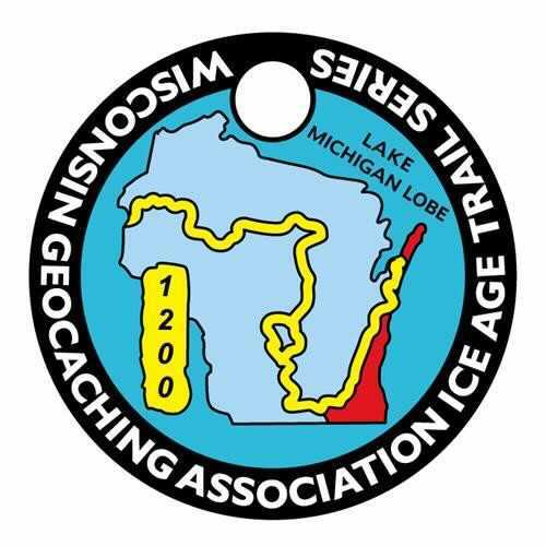
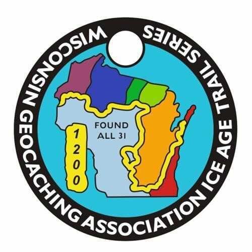
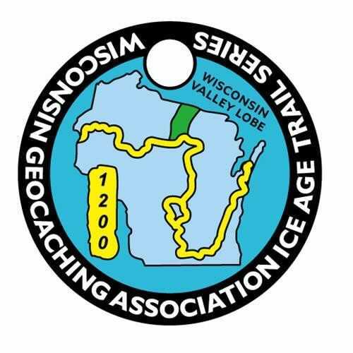
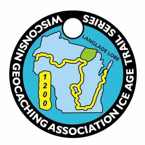
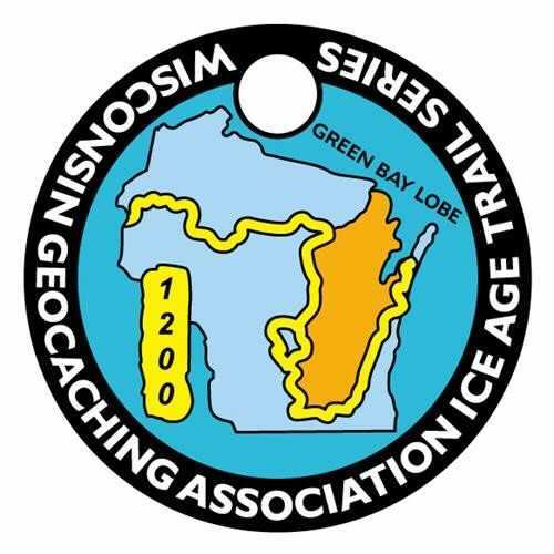
The goal of the WGA Ice Age Trail Series is to get more geocachers to explore and showcase the Ice Age National Scenic Trail which travels ~1,200 miles only through our great state of WI. We have partnered with the Ice Age Trail Alliance (https://iceagetrail.org) to help approve and bring this series to life. We have highlighted the six major lobes during the late Wisconsin Glaciation which covered portions of Wisconsin. These lobes were the Superior, Chippewa, Wisconsin Valley, Langlade, Green Bay and Lake Michigan lobes.
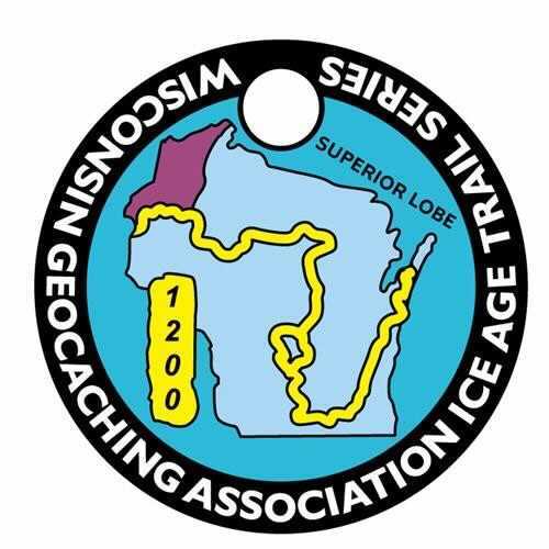
The Superior Lobe of the Laurentide Ice Sheet advanced into northwestern Wisconsin out of the Lake Superior Basin between 25,000 and 30,000 calendar years ago. It advanced across a landscape over which, in turn, several other glaciers had slid and scraped in the past. The deposits from these older glaciers sit at the surface south of the late Wisconsin glacial deposits that the Ice Age Trail segments cross. You will see till that the Superior Lobe deposited: it is reddish brown because of iron staining, similar to the till in other lobes that came out of the Lake Superior basin. There are substantial differences, however, between the rocky types that make up the till from each successive glacier lobe
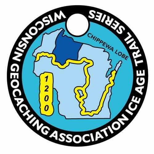
The Chippewa Lobe developed textbook examples of high-relief hummocky topography and particularly large ice-walled lake plains. Ice flowed generally southwestward out of the Lake Superior basin into northwestern Wisconsin. Earlier glaciations had extended farther into Chippewa, Clark and Marathon counties.
The Wisconsin Valley Lobe advanced into northern Wisconsin out of the Lake Superior basin between 30,000 and 25,000 calendar years ago. It deposited reddish-brown, sandy, gravely till and supraglacial sediment. Look for the boulders strewn on the ground surface as well as the moraines that this advance left behind: the Harrison Moraine on the east and the Wood Lake Moraine on the west side of the lobe.
The Langlade Lobe flowed southwestward out of the Lake Superior basin. From the eastern edge of the Langlade Lobe westward, the moraines are characterized by high-relief hummocky topography. There are some tunnel channels, but they are not as abundant as they are along the western side of the Green Bay Lobe. Conversely, ice-walled-lake plains are a more common landform in the moraines across northern Wisconsin than they are to the south. The flow direction of the Langlade Lobe is indicated by the orientation of drumlins that formed behind the ice edge.
The Green Bay Lobe advanced town the Green Bay-Lake Winnebago lowland into southern and southwestern Wisconsin during the late Wisconsin Glaciation about 30,000 years ago. At its outermost advance position, between 25,000 and 30,000 years, the lobe deposited the Johnstown Moraine along much of its ice margin. An exception to this was in northern Dane County, where no moraine formed. In a few places, particularly near Brooklyn, the ice may have extended a little farther than the Johnstown Moraine then retreated to build the moraine. Some of the best places to see the moraine clearly are on the Verona and Valley View segments and at the Cross Plains Unit of the Ice Age National Scientific Reserve.
The Lake Michigan Lobe of the glacier flowed down the Lake Michigan lowland to central Indiana and Illinois. While each of the lobes moved somewhat independently of each other, they were in contact with adjoining lobes creating interlobate moraines. The most prominent of these is the Kettle Moraine in southeast Wisconsin, formed by the contact between the Lake Michigan Lobe and the Green Bay Lobe. During Wisconsin glaciation, large arcuate ridges called end moraines formed at the margin of the Lake Michigan Lobe. These moraines mark positions where the ice margin remained for tens to hundreds of years while glacier flow continued to deliver sediment to the leading edge.