› Forums › Geocaching in Wisconsin › General › Other Uses for a GPSr
- This topic has 31 replies, 22 voices, and was last updated 15 years, 1 month ago by
 Sparse Grey Hackle.
-
AuthorPosts
-
12/06/2010 at 11:28 pm #1939540
^
.
.
.
.
.did you catch the sarcasm? ❗ 🙄
Following the signals from space.
12/07/2010 at 3:10 am #1939541Used ours to map snowmobile trails for my personal use, which then turned into contributing back to the local county group for use on their maps along with matching with the local land records at the county level to see property owners that we run through to verify we had everyone. The maps are the most accurate we’ve ever had.
12/07/2010 at 6:59 pm #1939542I have an old one of these:
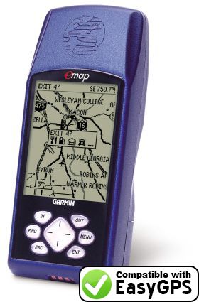
Garmin E-Mapthat I keep on the handlebar of my bicycle. I’ve recorded every ride I’ve taken for the past 3 years with it. I cannot believe it hasn’t been wrecked by the constant shock and vibration it is subjected to (30~50 miles/week) during the three riding seasons.
12/09/2010 at 12:24 pm #1939543we have used ours to mark a restaurant we pass while on a long caching day. At the end of the run we can find our way back. Also interesting rural stores we find in Amish country.
12/09/2010 at 2:17 pm #1939544there was that time I wanted to mark where I found (left?) that body in the woods… 😯
 🙄
🙄Following the signals from space.
12/10/2010 at 1:13 am #1939545Next week I’ll be taking a bunch of 6th graders outside. As part of their Egypt unit, we use GPS’ to lay out the actual size of the base of the Great Pyramid. The water tower next to the schoolyard is just about dead center, and is almost exactly 1/3 the height. What a great visual demonstration using modern technology on a 5,000 year old topic.
BTW, it is .14 mile wide per side, and about 450′ tall to the tip. Unbelievably huge! The kids are usually pretty astounded.
cYa, Jim
12/10/2010 at 1:18 am #1939546That’s the same GPS that I use! It’s the only one I own actually. The only thing I’ve used it for other than a GPS is a very weak flashlight. Yeah. Didn’t work the best.
12/10/2010 at 2:45 am #1939547when I adopted my daughter from China I used mine to get the coordinates for the area she was found and I painted it on her memory box…the problem was when I was there I tried to get at least 1 cache there instead I got 4 dnf 😡
12/10/2010 at 2:53 am #1939548But you found something even more precious, team kamper.
12/10/2010 at 4:30 am #1939549that’s true…and she loves caching
 12/10/2010 at 2:16 pm #1939550
Oh, yeah… Great photo! 😀
12/10/2010 at 2:18 pm #1939551Great story and great photo!
12/10/2010 at 9:45 pm #1939552I forgot…marking locations of significant birding sightings so I can enter them later on e-bird. Also, it was used twice to mark the location of close sightings of timber wolves, for reporting to the DNR.
12/10/2010 at 10:01 pm #1939553@Trekkin’ and Birdin’ wrote:
Also, it was used twice to mark the location of close sightings of timber wolves, for reporting to the DNR.
I think 110 grain pieces of bonded copper / lead can do an even better job of marking the wolves. 😆 (Sorry didn’t mean to steal the thread).
12/11/2010 at 1:04 am #1939554😯
Disclaimer : Always answering to a higher power.
-
AuthorPosts
- You must be logged in to reply to this topic.